
About Course
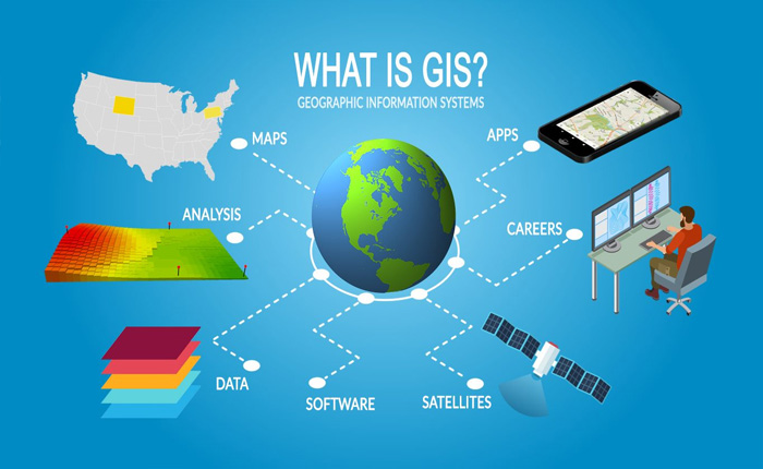
Geographic Information Systems are smart maps.
GIS integrate the display capabilities of a computerized map with the information management tools of a spreadsheet. This introductory course will focus on the fundamentals of operating in a GIS environment, and the many different applications of GIS technology.
Lectures will be integrated with hands-on projects in which you will get to use several of the major GIS software products
Course Content
MODULE I: Fundamental Concepts in Geographic Information Science
-
Definition of GIS
-
Vector and raster systems
-
Scale, resolution, map projection
-
Coordinate systems
-
Applications of GIS
MODULE II: Geospatial Data
MODULE III: Spatial Analysis
Exam
Download eBooks
Student Ratings & Reviews

No Review Yet